
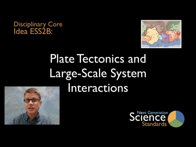
ESS2.B: Plate Tectonics and Large-Scale System Interactions
Why do the continents move, and what causes earthquakes and volcanoes?
K-12 Progressions
| K-2 | 3-5 | 6-8 | 9-12 |
|---|---|---|---|
| Maps show where things are located. One can map the shapes and kinds of land and water in any area. | Earth’s physical features occur in patterns, as do earthquakes and volcanoes. Maps can be used to locate features and determine patterns in those events | Plate tectonics is the unifying theory that explains movements of rocks at Earth’s surface and geological history. Maps are used to display evidence of plate movement. | Radioactive decay within Earth’s interior contributes to thermal convection in the mantle. |
Grade Band Endpoints for ESS2.B
from A Framework for K-12 Science Education: Practices, Crosscutting Concepts, and Core Ideas (page 183)
By the end of grade 2. Rocks, soils, and sand are present in most areas where plants and animals live. There may also be rivers, streams, lakes, and ponds. Maps show where things are located. One can map the shapes and kinds of land and water in any area.
By the end of grade 5. The locations of mountain ranges, deep ocean trenches, ocean floor structures, earthquakes, and volcanoes occur in patterns. Most earthquakes and volcanoes occur in bands that are often along the boundaries between continents and oceans. Major mountain chains form inside continents or near their edges. Maps can help locate the different land and water features where people live and in other areas of Earth.
By the end of grade 8. Plate tectonics is the unifying theory that explains the past and current movements of the rocks at Earth’s surface and provides a framework for understanding its geological history. Plate movements are responsible for most continental and ocean floor features and for the distribution of most rocks and minerals within Earth’s crust. Maps of ancient land and water patterns, based on investigations of rocks and fossils, make clear how Earth’s plates have moved great distances, collided, and spread apart.
By the end of grade 12. The radioactive decay of unstable isotopes continually generates new energy within Earth’s crust and mantle providing the primary source of the heat that drives mantle convection. Plate tectonics can be viewed as the surface expression of mantle convection.
Introduction to ESS2.B
Plate tectonics is the unifying theory that explains the past and current movements of the rocks at Earth’s surface and provides a coherent account of its geological history. This theory is supported by multiple evidence streams—for example, the consistent patterns of earthquake locations, evidence of ocean floor spreading over time given by tracking magnetic patterns in undersea rocks and coordinating them with changes to Earth’s magnetic axis data, the warping of the land under loads (such as lakes and ice sheets), which show that the solid mantle’s rocks can bend and even flow.
The lighter and less dense continents are embedded in heavier and denser upper-mantle rocks, and together they make up the moving tectonic plates of the lithosphere (Earth’s solid outer layer, i.e., the crust and upper mantle). Tectonic plates are the top parts of giant convection cells that bring matter from the hot inner mantle up to the cool surface. These movements are driven by the release of energy (from radioactive decay of unstable isotopes within Earth’s interior) and by the cooling and gravitational downward motion of the dense material of the plates after subduction (one plate being drawn under another). The plates move across Earth’s surface, carrying the continents, creating and destroying ocean basins, producing earthquakes and volcanoes, and forming mountain ranges and plateaus.
Most continental and ocean floor features are the result of geological activity and earthquakes along plate boundaries. The exact patterns depend on whether the plates are being pushed together to create mountains or deep ocean trenches, being pulled apart to form new ocean floor at mid-ocean ridges, or sliding past each other along surface faults. Most distributions of rocks within Earth’s crust, including minerals, fossil fuels, and energy resources, are a direct result of the history of plate motions and collisions and the corresponding changes in the configurations of the continents and ocean basins.
This history is still being written. Continents are continually being shaped and reshaped by competing constructive and destructive geological processes. North America, for example, has gradually grown in size over the past 4 billion years through a complex set of interactions with other continents, including the addition of many new crustal segments.
Performance Expectations Associated with ESS2.B
videos
Next Generation Science Standards is a registered trademark of Achieve. Neither Achieve nor the lead states and partners that developed the Next Generation Science Standards were involved in the production of this product, and do not endorse it. Visit the official NGSS website.
